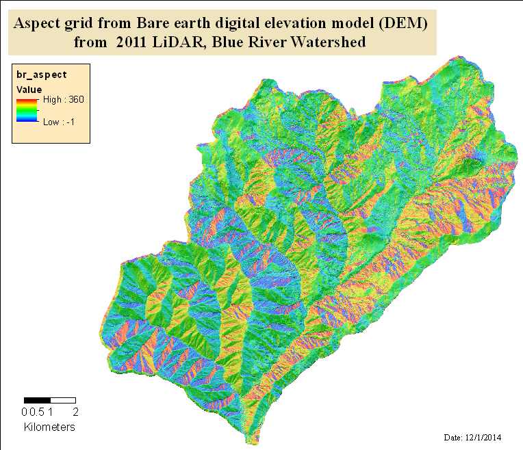
Aspect (in radians) grid from bare earth digital elevation model (DEM) from 2011 LiDAR, Blue River Watershed
Raster Dataset

Tags
topography, HJ Andrews Experimental
Forest, Landscape Ecology, Oregon, geology, Blue River Watershed, LiDAR, digital elevation
model (DEM), Willamette Basin
The base or bare-earth DEM values were used to calculate the aspect of the study area. Values are in meters. The final product is in ESRI GRID digital format, with a 1 meter cell size resolution. Each cell in the GRID has a value that represents the modeled aspect at that location, in radians with low value of 0 and high value of 360 degrees. The purpose of the data is to provide users with a very accurate aspect calculation for each grid cell. The data are suitable for creating visualizations, for models that require aspect as an input, determining suitability for on the ground actiivites, and for descriptions of specific sites that require an aspect value.
Watershed Sciences, Inc. (WS) collected Light Detection and Ranging (LiDAR) data for the Blue River Watershed in 2011.This raster contains an computer generated aspect model of the LiDAR (the bare-earth Digital Elevation Model.
There are no credits for this item.
See access and use constraints information.
Extent
West -122.334155 East -122.129467 North 44.340085 South 44.202966
Maximum (zoomed in) 1:5,000 Minimum (zoomed out) 1:50,000