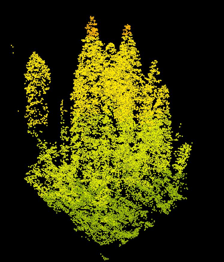
Point Cloud data (LAS format) from 2011 LiDAR, Blue River Watershed
Text File

Tags
USFS, Oregon, LiDAR, bare earth,
Linn County, digital terrain model, EPA, bare ground, Light Detection and Ranging, Pacific
Northwest, Blue River, elevation data, topography, high-resolution, DEM, Lane
County
The purpose of the data is to provide users with a very accurate view of the topography of the study area. The data are suitable for creating visualizations, deriving watershed boundaries, creating stream networks, identifying structures such as roads and water features, looking at individual trees or stands of vegetation, and for identifying landslides and geological features,
This dataset represents the Blue River Watershed survey area in Linn and Lane County, OR. This entity represents the raw point cloud data provided by Watershed Sciences. The point cloud data are useful for viewing individual trees and smaller sections of the study area. They are also useful to create derived products using softaware that can handle the large datasets (Fusion). The point cloud data are available by request, as the files are too large to download over a network.
There are no credits for this item.
In some areas of heavy vegetation or forest cover, there may be relatively few ground points in the LiDAR data. TINing the points produces large triangles and hence the elevations may be less accurate within such areas. Elevation values for open water surfaces are not valid elevation values because few LiDAR points are returned from water surfaces. Triangles were created across water surfaces by interpolating from the nearest land points.
Extent
There is no extent for this
item.
Maximum (zoomed in) 1:5,000 Minimum (zoomed out) 1:150,000,000