Shapefile
Tags
program administration,
HJ Andrews Experimental Forest, Willamette Basin, Oregon, trails, Blue River Watershed, road
management, administration
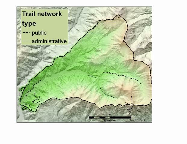
GPS technology was used obtain higher precision locations of the trail system of the Andrews Forest. This happened in 2011 for the update the Andrews Experimental Forest Map and to help manage the facility.
Developed trail locations for the Andrews Experimental Forest.
There are no credits for this item.
See data access policy at www.fsl.orst.edu/lter/data (especialy the data use policy)
Extent
West | -122.258207 | East | -122.111445 |
North | 44.282553 | South | 44.195438 |
Maximum (zoomed in) | 1:5,000 |
Minimum (zoomed out) | 1:150,000,000 |
latest update
While substantial efforts are made to ensure the accuracy of data and documentation, complete accuracy of data sets cannot be guaranteed. All data are made available "as is". The Andrews LTER shall not be liable for damages resulting from any use or misinterpretation of data sets.
Available on-line
See data access policy at www.fsl.orst.edu/lter/data (especialy the data use policy)
Obtain information off of WWW site, call contact person for special requests.
Polygon attribute table for boundary coverage
Documentation from Tere Turner
Internal feature number.
ESRI
Feature geometry.
ESRI
trail identification number, where one exists.
Willamette NF
trail name
originator/Andrews staff
type of trail, administrative/researcher trail (unofficial) or public trail. This field was used to determine what trails to put on an official map of the Andrews.
Andrews Staff